
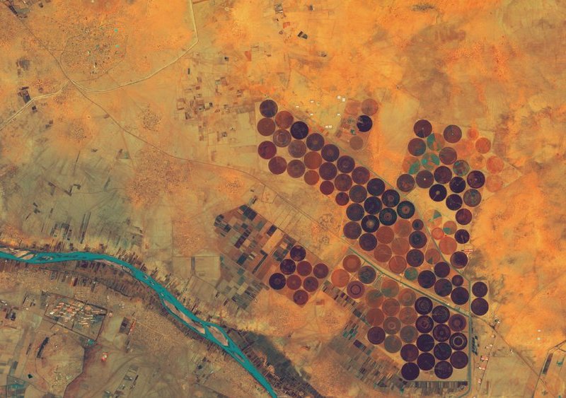
With its “Make-IT” project GIZ supports via the Airbus “UP24” programme to provide farmers with geospatial data technologies by providing users with direct access to extensive Earth observation data sets.
Photo: ©Shutterstock
 Read this article in French
- Share this article
- Subscribe to our newsletter
Airbus subsidiary UP42 and GIZ supporting smallholders in Africa
Smallholdings in Africa frequently lack the necessary infrastructure to develop digital services for agriculture, such as weather forecasts, cultivation methods or up-to-date information on market conditions. In the context of the project, UP42 provides technical consulting and makes access available to its own developer platform from which the latest Earth observation data and various analytical services can be called up.
“The Make-IT in Africa concept aligns with the aim of UP42 to make valuable information available to all via Earth observation data,” explains UP42 CEO Sean Wiid. “Together with GIZ, we are giving African smallholder and organisations supporting them insights on agriculture.”
The GIZ Make-IT in Africa project provides local start-ups with business trainings and technical support enabling them to offer commercial agricultural services to farmers in their region. Germany’s Federal Ministry for Economic Cooperation and Development (BMZ) has commissioned GIZ to implement the initiative in the context of the Make-IT in Africa project.
“We want to help local start-ups to reach more clients and tap new markets,” says Make-IT in Africa consultant Marc Hümmer. “For this purpose, we provide them with basic knowledge and know-how in the areas of data analysis, interoperability and business modelling.”
UP42 democratises geospatial data technologies by providing users with direct access to extensive Earth observation data sets and state-of-the-art processing algorithms as well as the appropriate Cloud environment for them to compile their own geospatial data applications in a simple and low-cost manner. Instead of buying large satellite-imagery sets or investing in expensive processing software and computing infrastructure, UP42 users only acquire the image and analysis resources which they need for their project, independently of their size.
Already in mid-2020, UP42 technical staff ran practical tutorials for start-ups to select satellite images and carry out processing analyses. Here, the focus was on client-specific solutions for agriculture with the aid of the UP42 interface (API) to enable the enterprises themselves to develop commercial services on the platform.
Three start-ups in Africa using the UP42 platform
Three start-ups in Africa are already using the UP42 platform and also intend to expand their business activities this year:
- Crop2Cash in Nigeria is developing a scoring model for credits which is based on historical time-series data on yield performance derived from archived satellite imagery. This makes it easier for financial institutions to improve financing of smallholder farms. For many smaller farms, archived satellite imagery is the only verifiable source of historical yield data.
More information
- HeHe in Rwanda is digitising trade in Africa and developing technologies for logistics and supply chains in order to match supply and demand. This enables farmers to expand their own markets and reach their customers more effectively. UP42 is supporting HeHe in compiling yield prediction algorithms and planning how crops can be delivered to consumers.
More information
- GrowForMe in Ghana is working on a sponsoring model with which investors can finance certain smallholdings in Africa. Farmers use funding which they have received to expand their existing operations. The investor receives a share of the profit after harvest. UP42 is helping to enhance the GrowForMe online platform with weather data and other information so that other farmers as well as the investors can monitor the growing conditions throughout the season.
More information
In the UP42 Market Square, Make-IT in Africa participants as well as all UP42 clients can choose from a wide range of Earth observation data, including Pleiades 1A/B, SPOT 6/7, Landsat-8, KOMPSAT, TerraSar-X, Sentinel-2 and MODIS satellite images, HxGN and Getmapping areal images, Intermap-DEMs, exactEarth-AIS-data and Meteomatics weather and ocean data.
With these data sets, users can apply more than 70 analytic methods for geospatial data and algorithms for machine learning in order to automatically identify features and count objects, recognise patterns, classify land use and deduce vegetation indicators.
(up42/wi)
More information at UP42 Website
News Comments
Current Print Issue


Add a comment
Be the First to Comment