
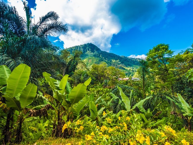
Wild banana plants, Madagascar.
Photo: ©LouieLea/Shutterstock
- Share this article
- Subscribe to our newsletter
Database: Vegetation of planet Earth
An open access global geodatabase of vegetation plots sPlotOpen was released in June 2021 as the Martin Luther University Halle-Wittenberg (MLU) reported at its website.
The database was compiled by an international team of researchers led by the Martin Luther University Halle-Wittenberg (MLU), the German Centre for Integrative Biodiversity Research (iDiv) and the French National Centre for Scientific Research (CNRS).
Around 100,000 vegetation plots from 114 countries have been entered into the database. Data point contains information on all of the plant species co-occurring at the given location, alongside geographical, temporal and methodological metadata. This enables researchers to see exactly when, where and by whom the data point was collected.
sPlotOpen provides information about the complete plant community that can be found at the respective location. This is one of the great advantages of the new database, explains Dr Francesco Maria Sabatini from MLU and iDiv, who is coordinating the project together with Dr Jonathan Lenoir from the CNRS. "There are already several databases that show the distribution of individual plant species worldwide. In reality, however, plant species rarely occur alone and in isolation," says the researcher.
With the aid of sPlotOpen, scientists could figure out whether the data was collected from a forest - with various tree and grass species - or a meadow. According to the biologist, this is important when selecting individual surveys for specific research projects that are meant to investigate, for instance, only forests or grasslands.
Another advantage is that the team has attempted to balance the data. "There is already an incredible wealth of data on vegetation in Europe, North America and Australia. But, for many different reasons, there is much less data on other regions," says Sabatini. If the data from all countries were compared without weighting it first, false conclusions could be drawn. Therefore, the team tried to establish a certain comparability between the datasets from different regions. For example, not all data from Western Europe was included in the project - only a representative selection. The team already balanced the data for the benefit of future users. This should prevent a striking imbalance of data over regions that are less well documented, for example, warm or cold, dry or humid climates.
(MLU /ile)


Add a comment
Be the First to Comment